M
muleyslayer1
Guest
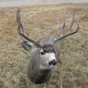
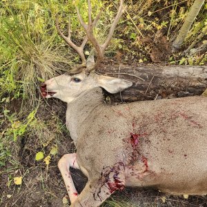
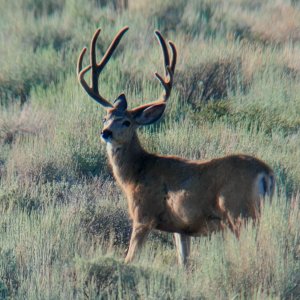
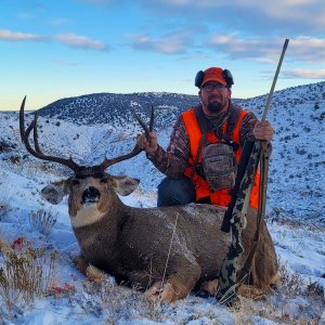
I am one lucky sapp!! Drew BC Archery hunt on my 3rd try!!!
I am looking for info and have done quite a bit of online research, however I am having difficulty finding the best map. From what I understand, I want to consentrate on top around the Divide road. Can anyone please tell what map includes this area best.
I really appreiate it, anyone wanting to trade solid Book Cliff info for Colorado info send me PM.
Thanks,
Marc