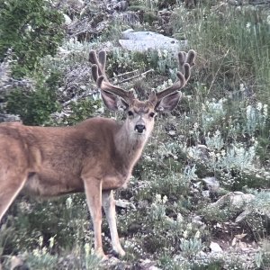
Not an expert on Utah, but have hunted in the northern part of Summit Co, just below the Wyoming state line. Take a close look at the area around Lyman Lake and Fish Lake. Check the USGS topo maps "Lyman Lake" and "Elizabeth Mountain". The "King's Peak" map will show what is private land and what is public.
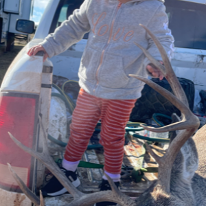
I'll be camped at Carter Creek (Hill AFB campground) just west of this area, and will probably spend a day or two up in that area with my daughter.
Best of luck.... CBH