Califelkslayer
Long Time Member
- Messages
- 4,078
I'm looking for the user friendliest GPS that I can either download or buy SD cards for that show public versus private property.
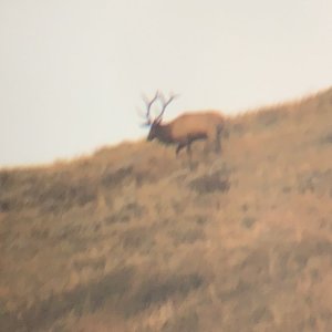
I'm planing an antelope hunt this fall and when I hunted the unit across the hiway, everything was checkerboard, public/private. A lot of areas I was afraid to hunt because although according to map and GPS, I thought i was good, I didn't want to take a chance.
This new unit has more public BUT I still want the ablility to know for sure if I'm on public.
I've been looking at the Rhinos because of the capibility to see your partners and i hunt with my wife a lot and she's a novice in the woods. But the best, easiest mapping would win over the capibility to see your partner.
Thanks
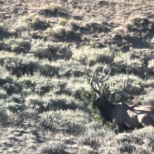