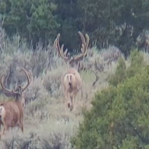
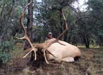
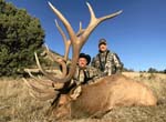
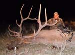
LAST EDITED ON May-20-13 AT 10:35AM (MST)[p]Thought I'd post these in case they help someone plan their hunt. Two maps of the fire severity from the Whitewater Baldy Fire in the Gila last year. First is the general area, the second is a detail with USFS trail numbers so you can orient yourself with the standard forest maps. I make no claims on the accuracy of the fire mapping or trail numbers. All the data came from the FS.

with trail numbers

If anyone wants an email copy send me a PM.
with trail numbers
If anyone wants an email copy send me a PM.