NMPaul
Moderator
- Messages
- 8,095
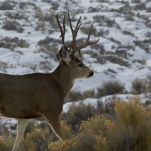
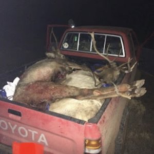
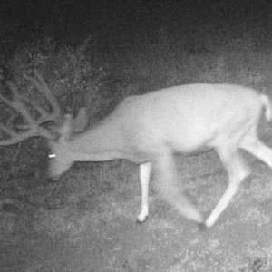
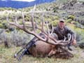
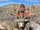
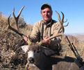
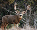
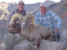
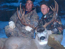
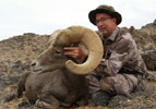
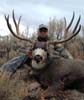
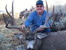
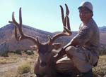
Got lucky and drew this late mule deer hunt in November. First tag ever in NV after almost 20 years of applying.
I understand that weather really helps the hunt. And I understand that there are lots of private land issues.
I want to buy a paper map now that has public/private as well as topography and roads.
I have been disappointed by Mytopo.com to many times to order another map from them.
Does anyone know if NatGeo does a map for this area?? They are some of the best maps I have used for out of state hunts, but, they are spotty on areas they cover.
I have a brother that lives in Susanville CA, so I may spend some time with him
Also, I know this is a rut hunt, but, would it be worth going early in the hunt and back packing into some remote areas?
Thanks for any suggestions.