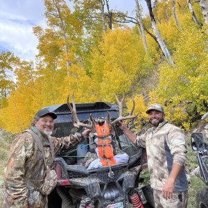
I use UStopomaps pro version cost a little money one time fee not designed specifically for hunting but great maps many different layers. You hold your finger on a spot on a map information will come up, elevation, late long, distance from your location to the point you marked. If you tap the box again it will give you more options, save as waypoint, share, go to point of location and even go to NATIONAL WEATHER SERVICE and get weather info for that spot according to closes NWS reporting site it is pretty accurate.