the maps are great, topo is always spot on. for big game i don't really need the property owner information as im usually in national forest or wilderness. but the ability to down load those ares and see topo feature, add way point, tracks and scroll around the map from your position is awesome.
i use the land owner feature a lot coyote hunting. shows you great spots of BLM that you might not have knows were there and keeps you off property you might wander on to. again though, need to download maps for when you don't have service and they can take up a lot of space o your phone so make sure you have enough
on another note, bigfoot, what rock have you been living under? phone scope blew you away the other day and now your hearing about this new fangled OnX

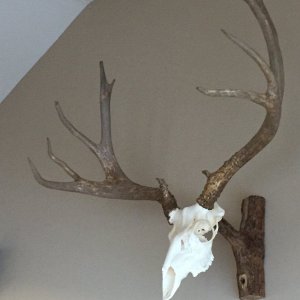
![IMG_0143[2863].jpg](/xf/data/xfmg/thumbnail/26/26009-3c801117a080fd9d93549fa3bf667314.jpg?1658505755)