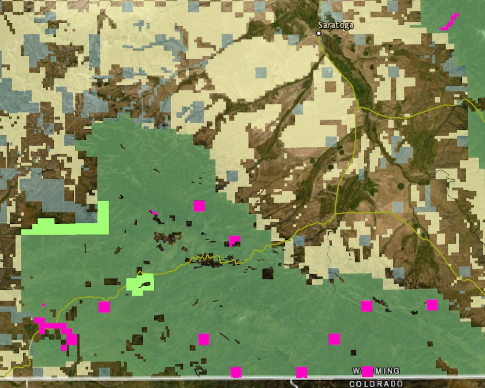
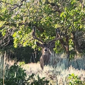
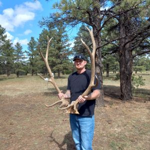
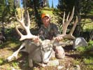
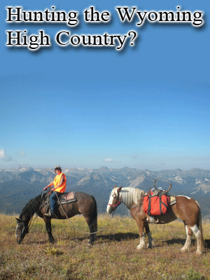
Not on this damn and in this location. Sorry but if I could draw a picture of the best mule deer habitat and migration corridor this spot would be it.
Also this project is only going to make a change for about 35 places in the little snake river valley. It is nothing about municipal water etc. There are some much better location for a reservoir lower on the river that could help Utah and Colorado. But this location and choice is horrible...
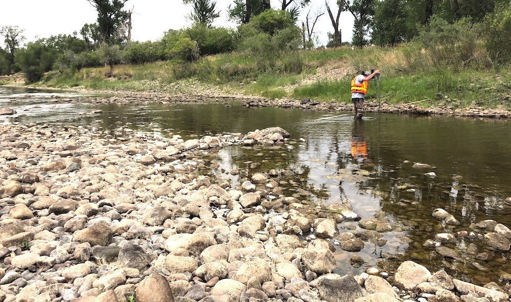
Few thing to mention... This location is only one of 3 native cutthroat population that will migrate and spawn up river. Pretty hard to mitigate that. The other supposed benefit would be better fishing and stream quality in the 3 miles down down stream of the damn. Sadly this entire section is owned by a private ranch.
Not to mention when you watch how they use the Savery water and who benefited from that project, it is not any better...
I agree that we should look at projects, but in this case the impact to wildlife and the area is just too much.
Now if you wanted to damn the Little Snake at Cross Mountain and use that, I could see it working and doing minimal impact to wildlife. Just like the other project on the Yampa. I can promise you that you could likely build A reservoir on the Yampa and on the loser little snake, have the combined reservoirs be 3-4 time larger and have 1/2 the impact on wildlife.
While there are some drawbacks to the reservoir, and I'm not arguing for or against it at this time. There are some holes in that story and a few of the points.
First of all while there are CRCT, the population is less than viable. 45 years ago, they tried doing a ton of work to reset that population and kill the Brooke trout. It was a failure. Same goes for all of those tributaries for the Little Snake (Battle, Roaring, West and North). Currently there are Brooke trout above the proposed dam and the highway that were supposedly wiped out. Now the G&F is using the proposal as a second effort to establish a viable population. It was a failed political happy holistic horse $hit of a project 45 years ago, to be frank.
From the point of the dam, the first private ground that Battle Creek enters is approximately 7.15 miles away. This land belongs to Ladder Livestock (O'Tooles mentioned in the article). Not the 3 miles described above or the 4 miles in the article. Three miles wouldn't even get to the Battle Creek Campground.
The first proposed dam was lower in the Little Snake drainage on the Slater Creek side, but for reason that I can't (before I was born) remember it was shelved for this location.
One benefit of this would also be the land exchange that was proposed for the acreage of the reservoir. Moving significant amounts of intermittent state lands into USFS control and making the UFSF and State lands more uniformly distributed. This would increase managerial discretion and control by both agencies on larger blocks of land. (Some of the State Land would be swapped for USFS around the Forest Edge Ranch)
Some of the discussion that has been left out of this story and even the High Savery discussion is that the action of storage was a tradeoff for the pipeline that carries water to Hog's Park Reservoir on the opposite side of divide. That water is then traded with Cheyenne somehow for water for the City. When that project happened in the (don't quote me on the exact year) 1980's, it was agreed that the state would replace the volume of water with storage opportunities for the Upper Little Snake River.
When they speak of the vertebrate and invertebrate species being decimated during the construction, I find that as a reach. It didn't happen in the High Savery development that took approximately the same amount of time. Also, by developing the dam and establishing the above waters as a CRCT Reserve as they did on the High Savery, would be beneficial to the species, that as of now, is struggling to put it mildly.
The Belvidere Ditch that is mentioned is above the dam and the proposed water levels when its full and would not be impacted unless the reservoir would be above the Highway elevation, which is not proposed. The ditch receives water from Haggerty Creek at all times and there is no proposal to change that operation. One other point they fail to mention is on that ditch there are at least 2 pipe drops to account for slope that do not allow for the fish to migrate for spawning purposes either. I cleaned that ditch once when I was a kid, on foot packing a chainsaw. Again, this point of contention is a stretch to say the least.
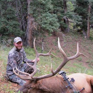
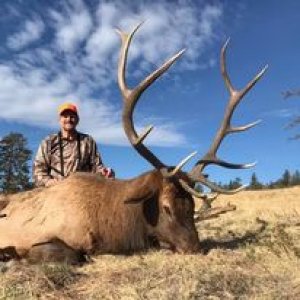
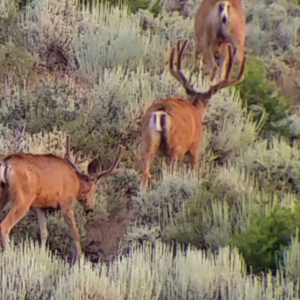
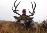
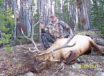
Now as far as migration corridors goes, there is no doubt in my mind that all wildlife in the area use this drainage. It has limited access from the east side and is as steep and deep as that country gets. But even the WYG&F has omitted any area above upper Savery Creek is out of their core or established migratory corridors for elk or mule deer. Even the High Savery Dam is directly in one of these corridors.
Just FYI
PY
 wyofile.com