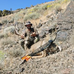
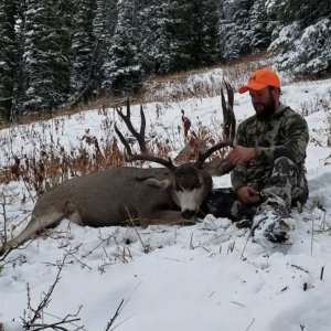
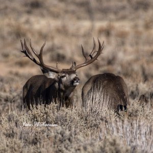
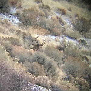
Yep G6 this year. Read all the past posts I could here. I had a friend from Bakersfield pull this tag last year (2021) and harvested a decent buck once a storm (no snow though) came in. Buck was nothing like I’ve seen in Colorado archery hunting but decent for what I’ve seen around Kern County. I have a couple questions maybe some of you can answer…
Where to camp in this area during the hunting week? If snow does come in how far can a 4x4 truck drive around that area? Does forestry/CalTans plow the main roads there? Should I take my quad in case? There was a fire in that area maybe 10 years ago or so (???); anyone seen the vegetation growth after that fire?
Where to camp in this area during the hunting week? If snow does come in how far can a 4x4 truck drive around that area? Does forestry/CalTans plow the main roads there? Should I take my quad in case? There was a fire in that area maybe 10 years ago or so (???); anyone seen the vegetation growth after that fire?