What The Heck Is This?

HikeHunt61

Very Active Member
Messages
1,381
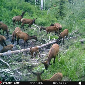
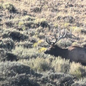
So on my second trip to 13A scouting for Mule Deer spots, I run into an old structure back in the hills near Hack Canyon. I’ve seen 100s of old building, ruins, etc- but nothing like this. It’s a 30 foot square retaining wall, with a massive rock that is almost completely flat for a floor, on the top of a ridge. It overlooks some nice country, but is not particularly a view point. Hard to imagine it being the foundation for a taller building since there are no entry points, no way to get to it without climbing surrounding rocks (3-5 feet), and no signs of anything ever being built up higher around it. It is about 3 feet high all around, with concrete surfacing on the inside. There were two inscriptions in the interior facing. The name also matches the name of a nearby tank that no longer holds water.

What the heck is it?

IMG_8695.jpg

IMG_8696.jpg

IMG_8697.jpg
 
It looks like a real old water catchment. A stem wall for a house or line shack probably wouldn’t be mortared. Some of those old water catchments (“deer dance halls”) were concrete. Anymore they are made of propanel and tin It seems.

It’s hard to tell from the pics, but does the top of the wall look like it’s all at the same elevation?

Back int the day, WPA type stuff was pretty serious. Don’t know if that’s what it is, but it’s my guess.
Funny about that- I figured if a water truck came in it could be a hill top pool. But the thing is, it's literally on top of a ridge (so no catching water), and it requires a 3-5 foot scramble up boulders to get to. Ya, a deer could get to it, but no cow could. Just really made me wonder what the heck it was. And it clearly took a bunch of effort to make...
 
It would have probably gathered rainwater and sent it out thru a pipe to a trough. That’s the way most of the old ones were. Did you see a “drain” where an outlet pipe might have been?

These days they tend to feed into a buried tank, then out to a trough or a port in the tank.
 
All I can come up with is that it was the beginning of a house or some sort of structure that never got past the third lift. It looks like they ran out of material and finished up with a skim on the first few courses and gave up. Craftsmanship is lacking. It would be interesting to check how square it is.
 
JUDAS Coues!:D

I'm Sure in 1919 they were Worried about it Being Square!

LMMFAO!:D


All I can come up with is that it was the beginning of a house or some sort of structure that never got past the third lift. It looks like they ran out of material and finished up with a skim on the first few courses and gave up. Craftsmanship is lacking. It would be interesting to check how square it is.
 
I hope they would. It’s a pain making things work when it’s out of square. If it was square or close, it has a better possibility of being a structure than a water catchment.
 
I looked around, saw no pipes or entry points or anything. If it was serving the purpose of catching and holding water, they really went overboard on the depth since I doubt they get more than 8 inches of rain a year at that place, and it was literally the high point on the ridge. It's pretty darn square, and very level, it had no entry way, and I had to scramble up rocks just to get to the point I could swing my legs over the walls. I'm starting to wonder if Bluehair is right tho- there really is no other explanation. Just seemed like soooo much work and extra depth for that purpose.
 
I have seen old swimming pools like that around some of the old mining towns, but I doubt they had one on the strip.

The EPA wasn’t around in 1919, so we can rule out secondary containment. Etc, etc.

I think you have the clue you need when you said there was an abandoned water tank of the same name nearby. That the parts and pieces are gone isn’t surprising.

I agree that the height of the walls makes no sense. That makes me assume it was a goobermint job.;)

Just out of curiosity, what does the AzG&F water catchment book show?
 
Last edited:
I did check Habimap (their map tool which supposedly shows all the catchments)- nothing there. I used that tool along with e-scouting google earth to find around 300 tanks and catchments in the unit. I used to have the actual book, can't find it after the last move. I'm pretty sure the online tool has all of them though.
 
If anyone knows the country well- here is my Gaia map of that portion of the unit with the structure shown with red point. Red road is 109. You can see that Jackson tank is 2 miles to the west of the puzzler guzzler.
1634915437806.png
 

Click-a-Pic ... Details & Bigger Photos
Back
Top Bottom