Cow tag Morgan-South Rich, East Lost Creek

tyef350

Active Member
Messages
347
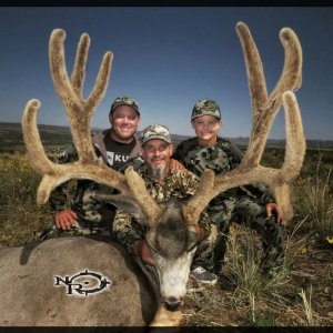
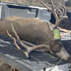
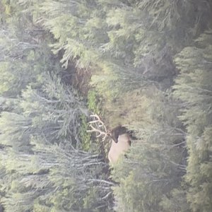
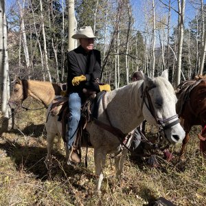
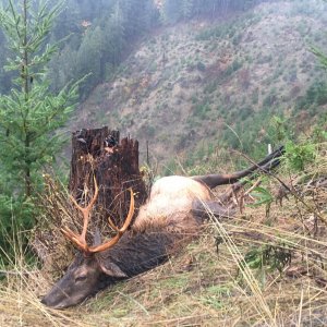
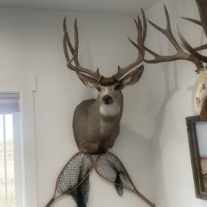
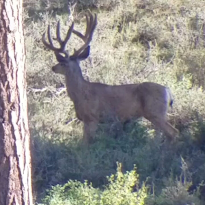
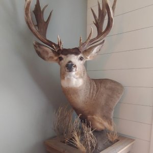
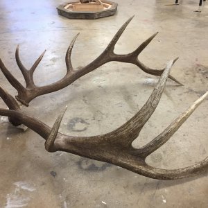
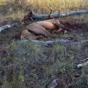
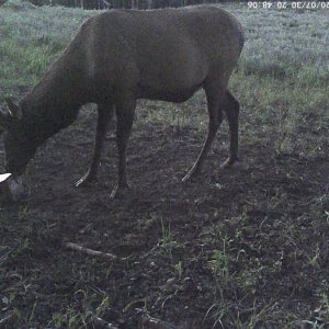
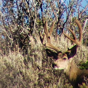
Thought i was lucky to get a left over tag for Morgan-South Rich, East Lost Creek. After getting kicked offline over and over i got it thinking it was the same area as the deer unit morgan south rich. Does anyone know people with land in this unit? Do they let peolpe hunt it? Any help or info would be great on people to call.The dwr should put all private next to the unit name.
 
Description
Morgan and Summit counties--Boundary begins at the Cedar Canyon drainage and Lost Creek Road; northeast on this road to Lost Creek Dam and Trail Canyon Road; east on this road to the Morgan-Rich County line; southeast on this county line to the Rich-Summit County line; east on this county line to I-80; west on I-80 to the Sawmill Canyon drainage; west along this drainage to the head of Cedar Canyon; northwest along Cedar Canyon drainage to Lost Creek Road.

This hunt is comprised of all or largely private property. Hunters should acquire written permission from the landowner before applying for this hunt.

The Henefer-Echo Wildlife Management Area is not included in this unit. Excludes all CWMUs. USGS 1:100,000 Maps: Ogden. Boundary questions? Call Ogden office, 801-476-2740.


Right there...
 
I was going off the deer unit 4/5/6 lots of public land RICH county. Was thinking it was kind of the same area. Does anyone know property owners i would be willing to help with hay etc. I dont want to pay a huge tresspass fee for a cow.
 
This cow tag was a last sec buy when i bought my any bull tag thinking it was something else haha.
 
hey man i hunt Morgan every year, I have access to private land I have some ideas for you to possible aviod tag soup...give me a call, no emails, I may be able to help and if your wondering if Im tryin to make money...Im not I am active duty military at Hill afb, I got hooked up and I'm happy to help othes when i can.

8013097109
 

Click-a-Pic ... Details & Bigger Photos
Back
Top Bottom