How to navigate hunt areas?

DanBucks

Member
Messages
92
What's the best way to know you are not on private property, with a GPS program? If so, which one? I have a unit 57 hunt, type 2. Any is appriciated.
 
Onx maps, Basemap or Gaia are all pretty good. I think you can get 20% off OnX if you use Randy Newberg discount code “RANDY” The south half of 57 is all public, not sure what the type 2 boundaries are but all of the Rock Springs Grazing Assoc. lands can be hunted. Many of those in the checkerboard are owned by the Grazing Association. Your map will show the landowners. There is also a pretty good HMA but I think you need to put in for a drawing coming up soon. A great area, you will have a fun hunt. Post some Pics when you can.
 
Take a look at the Sweetwater/Carbon County website. It shows all public roads whether highways, county or BLM. The two tracks which cross private are off limits unless it’s on a publicly accessible road or if crossing the Grazing Association lands. The roads should be named on OnX but use that in conjunction with the County road and bridge Dept. Maps found on the county website.
 
Avenza is a free app that the US Forest Service uses. There are a lot of free maps you can download and even more you can pay for. It is another option to check out.
 
57 Antelope? Almost entirely public when you consider the railroad checkerboard. The roads in that unit are a combo of gas company super roads, and original old 2 tracks. I spent a little google time to verify and digitally trace them into Gaia. I use Gaia to overlay public and topo (and hunt unit boundaries when it is important) onto one map. Obviously you can then overlay any routes you manually make. If you have Carplay, you can have Gaia heads-up on your navigation screen too.
 
57 Antelope? Almost entirely public when you consider the railroad checkerboard. The roads in that unit are a combo of gas company super roads, and original old 2 tracks. I spent a little google time to verify and digitally trace them into Gaia. I use Gaia to overlay public and topo (and hunt unit boundaries when it is important) onto one map. Obviously you can then overlay any routes you manually make. If you have Carplay, you can have Gaia heads-up on your navigation screen too.
The checkerboard lands are certainly NOT Public. Private is private no matter what state you are from and many Trespassing tickets are written for trespassers each fall who attempt to Trespass on deeded Private lands. The Rock Springs Grazing Assoc. allows access and that is a Huge benefit for sportsmen but unless you specifically have written permission from a landowner on Private in those checkerboard lands you can be issued a Trespass ticket. To suggest otherwise is just Bad advice. That being said there are some great antelope on publicly accessible lands and great Genetics in area 57.
 
Also remember camping or fire pits are not allowed on RSGA land. There is a decent amount of private land in 57. A couple of the ranchers do not allow access to anyone.
 
Apologies on checkerboard comment- indeed private is private. When we hunted there in the 70s and 80s, almost all of that in Unit 57 was open to hunting with no restrictions. I suppose as private landownership changes that could well have changed. My last hunt was all south of the checkerboard, and there were certainly no access issues there.
 

Wyoming Hunting Guides & Outfitters

Badger Creek Outfitters

Offering elk, deer and pronghorn hunts on several privately owned ranches.

Urge 2 Hunt

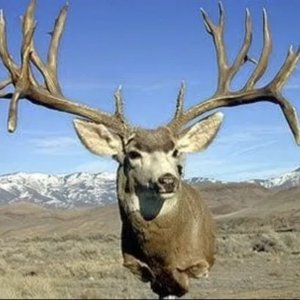
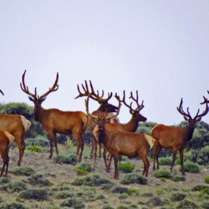
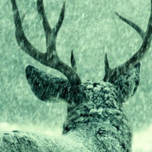
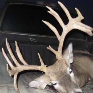
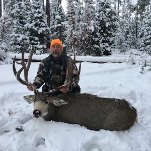
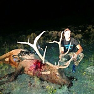
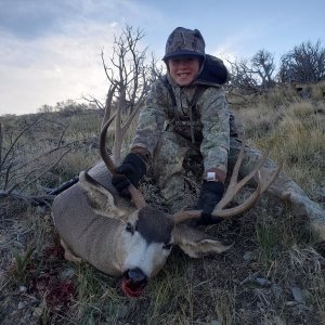
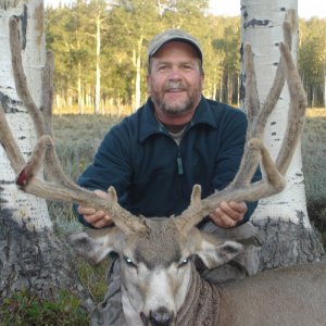
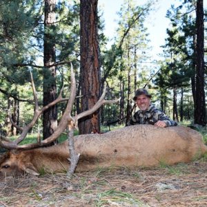
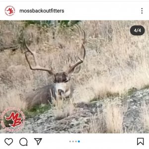
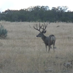
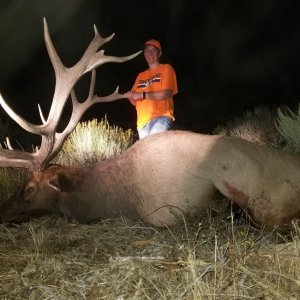
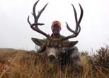
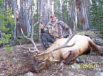
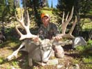
We focus on trophy elk, mule deer, antelope and moose hunts and take B&C bucks most years.

J & J Outfitters

Offering quality fair-chase hunts for trophy mule deer, elk, and moose in Wyoming.


Yellowstone Horse Rentals - Western Wyoming Horses
Back
Top Bottom