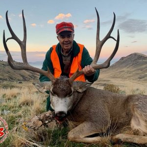
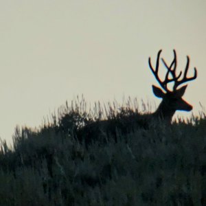
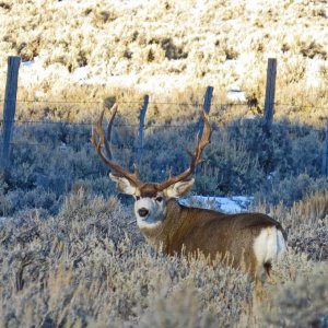
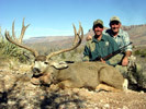
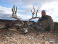
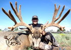
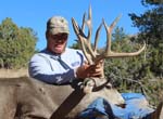
Unit 36A supports a good population of white-tailed deer. White-tailed deer are found on every mountain range in the unit, even the small sets of mountains adjacent to the flats.
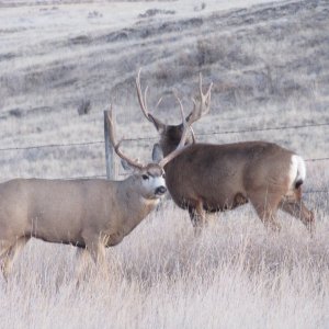
White-tailed deer seem to like the more rugged and steep slopes of the mountains in the unit. They are also found in some of the lower desert that most hunters would consider mule deer country. In the foothills as well as in some of the desert areas, both mule deer and white-tailed deer can be found together. The occurrence of white-tailed deer in lower elevations has increased for the past decade. These desert areas will usually have ocotillo present similar to those found between the Sierrita, Cerro Colorado, and Las Guijas mountains.
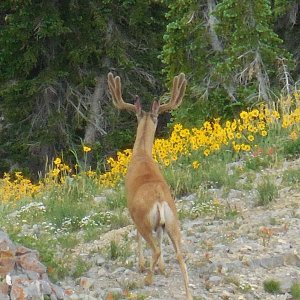
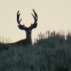
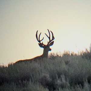
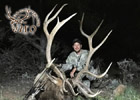
White-tailed Deer have been nicknamed the “gray ghost” because of their ability to remain concealed. They are relatively small and hard to find. Glassing them is the best way to find them. It allows the hunter the opportunity to find the deer before the deer finds him and plan a stalk. White-tailed deer are very fast and once they are spooked they clear out of the country without hesitation.
*Please read special note at the bottom of this hunt unit report regarding Undocumented Aliens in this hunt unit.
36A Access
Online mapping system for access
The gate at the Batamote Ranch house has been legally locked and no vehicular access is permitted through that gate.
The gate on the east side of Gunpoint Mountain that provided access to the Navarro Ranch has been legally closed by commission rule. Maps and sign in boxes have been added to access points on the Navarro Ranch. It is highly encouraged that you sign in and report any issues that you find while recreating in this area.
Generally, access in 36A is very good. Most of the unit is State Trust Land mixed with some private land. From the East, access is now most easily obtained off of McGee Ranch Road through a gate about 4 to 4 ½ miles west of Mission Road. This road will take you into the low country on the northeast side of the Sierrita Mountains. There are several roads that go out to the east towards Mission road but they are hard to follow and they are not on maps.
There is a locked gate going into a half section of state land at the west end of Pima Mine road. This road is a deeded road and is private property running through the state land and is legally locked.
From the Northeast you can enter from Ocotillo Ranch road off of Mission Road. This route is tricky because you will need to travel southwest through the subdivision to the power line road. Once on the power line travel west to the State land fence. From this Point you can either travel west along the power line or you can travel southwest toward the Sierrita Mountains and McGee Road. There is no longer access through the Navarro Ranch, Indian Kitchen, or the Ruby Star Area. It may be easier to access this area from the McGee Road.
The Sierrita mountains are found in the center of the hunt unit and are the largest and the highest mountain range in the unit. These mountains have no public vehicular access to the top of the mountain. The main roads on the east and west sides are legally locked on private property. Foot access is allowed into this area.
Access to the northwest side of the Sierrita mountains can be obtained be taking Ajo road, HWY 86, west out of Tucson to Sierrita Mountain road and then south on Sierrita Mountain road to the end of the pavement. Continue south on the dirt road though a cattle guard and staying on the main traveled road that will veer to the left (follow signs for Cysco Ranch). This road will take you to the base of the mountains as well as having several roads that leave it. These roads will also take you to different part of the valley giving you access to different parts of the mountains.
This area is constantly being developed and many of the roads run across private property. When the landowners start construction at their site, they sometimes put up a fence and lock off the road. There is no right away across these private lands and they can close the roads.
Access to the north end of the Sierrita mountains can be obtained be taking Sierrita Mountain road to the end of the pavement. The paved road turns west and is called Diamond Bell Road. Take the dirt road to the east about three quarters of a mile and go through the gate. As you travel Northeast in this area it borders the Tohono O’Odham Indian Reservation so pay attention to signs on fences. The Reservation is not included in 36A and if you are trespassing or hunting on Tohono O’Odham Land you are subject to Tribal Laws.
Access to the southeast corner of the Sierrita mountains can be obtained by going south on the frontage road to the first gate south of the rest area. This road will allow access to the southeastern portion of the unit and the area south of the Caterpillar property. The access off Calle Tres is now extremely limited due to Caterpillar property expansion. You cannot access the powerline or any roads further west without trespassing.
The Caterpillar Proving Grounds is currently closed to all hunting including archery. The Caterpillar Proving Grounds property line is well marked and includes a southern parcel of 4,620 acres purchased from State Land in December of 2011. This newly closed parcel includes the Tinaja Hills. Maps of the closed area are available at the Tucson AZGFD office at 555 N. Greasewood Rd.
Freeport McMoRan mine purchased 8,300 acres of State Land in July, 2012. Most of this area was land that they previously leased. Contact the mine for hunt information.
The southern portion of the Sierrita Mountains used to be, in part, accessed by the road going north next to the Marley Cattle Company’s barn. This has been legally locked by the Marley Ranch. Access to the southern portion of the Sierrita mountains can be obtained by taking Batamote Road off Arivaca Road at milepost 17.6. This will provide access to the southwest portion of the mountain.
The Cerro Colorado mountains are in the south central portion of the hunt unit. They are the most rugged of the unit’s mountains. Access around and into these mountains can be acquired off Arivaca road from most of the roads that go north off Arivaca road from milepost 17.6 to the road about a half-mile west of milepost 9.
The Las Guijas Mountains run along the southwestern portion of the unit from the town of Arivaca to the Buenos Aires National Wildlife Refuge. Access to this mountain range can be gained from any of the roads north off Arivaca road from milepost 9 through Arivaca to five miles east of Sasabe highway or Hwy 286.
Access to the north side of the Las Guijas mountains is obtained from the east by taking either of the roads near milepost 9 or 7 north off Arivaca road then go west on the road to the Montana Ranch house. Access can also be gained off of mile posts 5 and 3 but these roads are not traveled as much. There are several roads going north and south off this road. Access can also be obtained from the west by taking the Secundino road at milepost 16, turn east off of HWY 286 and continuing east off the refuge.
Access to the western portion of the hunt unit can be obtained from Sasabe Hwy (286). There are numerous roads going to the east off the Hwy. Many of these roads will take you to the base of the mountains with some of the roads taking you all the way around the mountains coming out on Arivaca road or even Interstate 19.
beverage
The
Buenos Aires National Wildlife Refuge in the southwest portion of the unit is open to hunting (except quail and predators) and camping. The Refuge also has stricter regulations regarding the use of OHV’s and carrying loaded firearms in vehicles. Contact the Refuge for specific regulations that apply to hunting and camping on the Refuge at 520-823-4251.
The best maps to get for this unit are the USGS Topographic maps. These maps will give detailed information on the location of most of the roads and waters, as well as the terrain features of the unit. They are available from map and survey supply stores as well as some outdoor equipment supply stores.
Maps depicting the land ownership are available from the State Land Department. The BLM map is also good to have, as it has a larger scale so all of the area is on one map. You will need the “Sells” map for this area.
This should get you a good start.