How do you scout on a map?

C

c0ry14

Guest
LAST EDITED ON May-01-11 AT 11:23PM (MST)[p]I put in for a first season tag. I've got the BLM maps and a few places picked out.

My question is... At what point do Elk move into their winter range?

I've got the BLM maps and I've marked their winter concentration area according to the Colorado Game and Fish. I've picked out areas within and surrounding the winter range that have no roads within the 1 mile squares.

How does everyone else do it?
 
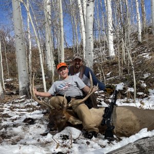
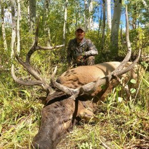
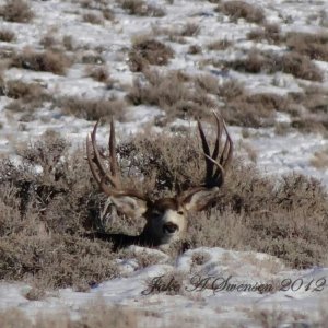
LAST EDITED ON May-02-11 AT 06:46AM (MST)[p]I think you're on the right track . . . Most elk will not be down into "winter concentration areas" until much later in in the fall and into winter. Where to look is highly dependent on where you are hunting. Some years elk will winter at higher elevations due to lack of snow, and some years those cows will take those bulls down eary due to a snow. My experience has been that the bulls will tend to head back up to higher elevations after the rut, but will follow those cows whereever they go during the rut. One year I experienced dynamite elk hunting at 10-11k ft during the first season. The next year it snowed a foot one week before the season and all the elk left the area. You should plan to have some high spots and some lower spots. This is easier said that done, depending on your area. The elk may travel a few miles or much more than that depending on the lay of the land . . . You can get a few good things from BLM maps: Where the public land is, access points, springs, roads (including those chunks without many roads), etc . . . But I really like to have USGS topo quad maps (I have these on CD) of the area to home in on those places elk might like to hang out or use as travel corridors. You can also plan routes much easier because distance and elevation change are much easier to see on these maps. Once I find some likely looking areas I'll make some custom maps and go there . . .

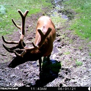
I should emphasize, too, that water is very important in elk country. Find some of those isolated springs/seeps/ponds, etc . . . Circle these on your maps and visit them when you scout (if you can). And, pay attention to the sign in the area, even if it's older. If it's more "clumpy" then chances are you're in an area where elk are early in the year, if it's more "pelletized" then you're likely in a winter concentration area. This is not a hard rule, as many places hold elk year round, with some migrating in and out and some staying . . .
 
Thanks. HiMtnHntr.

Do you think I should be looking at migration corridors and higher elevation areas?


Good Guy List: Muleymemories
 
Migration corridors are not for a first season tag (true almost all of the time). First season is immediately after the rut so you should be looking for areas that are near where the bulls were just with the cows that are thick, secluded and generally north facing. You will still find the small bulls running with the cows and in my experience the big bulls won't be far away but not actively herding the cows.

These bulls are in transition at this time from wanting to be around cows and moving to privacy, especially in areas that had high pressure from archery and muzzleloaders.

But even with everything that is ever known or said, they will throw you a curve ball and do something just the oppisite you think they should be doing.
If they are not there, move and keep moving till you find them. I have found many "great looking" spots that have never produced...


Mntman

"Hunting is where you prove yourself"
 
"But even with everything that is ever known or said, they will throw you a curve ball and do something just the oppisite you think they should be doing."

Yep . . . The map is a good place to start, but there's nothing like actually being there. Elk are at once predictable and not so predictable . . . Knowing the lay of the land before you go there will pay off in more ways that one. You'll have a good idea of where elk COULD be and you'll know how best to travel in the area. Having a good detailed custom map in your pocket is a good idea (of course, now there's the Oregon, if you care to spend $500 bucks . . .). The first season is getting into the middle of October these days. In pressured areas don't expect to find them rutting hard and bugling . . .
 
LAST EDITED ON May-05-11 AT 08:38PM (MST)[p]I'm not sure what the "Oregon is"? I do have a Garmin Colorado, if you're meaning the Oregon GPS.

I'm looking for the north and east facing slopes and nearby water holes.

I'm hunting 30-31 so not sure how pressured it will be.

But I'm looking hard and scouting the maps hard.
______________________________
Good Guy List: Muleymemories
 
Deep, steep, and thick. And just cuz its close to a road does not mean elk will not be near by. They have learned to adapt rather well.

"Courage is being scared to death but saddling
up anyway."
 
Give Google Earth a try also.

It really helps me to decide where I want to scout and how this terrain looks on a topo map.

Best of luck--have fun!
 
I like to use satalite mapping that has the ability to show gps coordinates. Depending on the season/geographic area, water might be the most important thing to look for, especially when you can find thick north facing slopes for bedding areas nearby.

Everything an elk does is either to reproduce or to cheat death for one more day. They need water, food, cover for protection, and escape routes. Find as many of these types of areas on a map, then put the boots to work for evaluating real time data.

I like looking at paper maps at the same time as satalite images. I spend hours upon hours studying both. Several years ago we found hundreds of elk on the west side of a particular mountain and ever since then they have been few & far between in this same area. Come to find out, the only tank on that side of the mountain washed out, so the elk moved where they could be closer to water.

PM sent...

"Windage & Elevation Pilgrim, Windage & Elevation"
 
Get a good app that will import the layers/overlays you want and learn to use it.


7479test.jpg
 
Importantly, and has already been said by another who replied, during the first Colorado rifle season the elk will likley be close to treeline -- say 11500' elevation. With reference to how to scout using the map, you might look for a ridge line on a topographic map and look for areas along this ridge where the ridge flattens out. I have been led to believe that elk like to bed down on such flattened areas on ridges -- benches. I'm not sure what the resolution of BLM maps is, but you probably want the 1:25000 scale of the USGS topographical quadrangle maps for enough topographic resolution to see these kind of details.

Of course, you want to locate a place where you can find elk that is reasonably accessible for getting the animal out!!! These are big animals and you need to have a plan in advance about how to get them back to your truck. Most people will field dress them on the spot and then cut them down into smaller chunks which can be moved. I skin one side, take off the back leg whole and the front shoulder whole and then the rib meat, backstrap, tenderloins. These pieces are then transported. You could use a pack to pack them out. Alternatively you might hire a packer to carry them out for you on a pack animal. In any case, have a plan for this in advance.
 
Thanks for all the replies.

I've been using this sight. -- http://www.geocommunicator.gov/blmMap/Map.jsp

It lets you switch between Topo and Ariel and overlays BLM layers.

I'm now looking for North/East facing slopes with nearby watering holes in the higher elevation near the treeline with access.


______________________________
Good Guy List: Muleymemories
 
>Thanks for all the replies.
>
>I've been using this sight. --
>http://www.geocommunicator.gov/blmMap/Map.jsp
>
>It lets you switch between Topo
>and Ariel and overlays BLM
>layers.
>
>I'm now looking for North/East facing
>slopes with nearby watering holes
>in the higher elevation near
>the treeline with access.
>
>
>______________________________
>Good Guy List: Muleymemories


OOOOHHHHHHHH!!! I like that!

Hello Geocommunicator:D
 

Click-a-Pic ... Details & Bigger Photos
Back
Top Bottom