Landowner Chip Legal Proof

desperatehills

Very Active Member
Messages
1,385
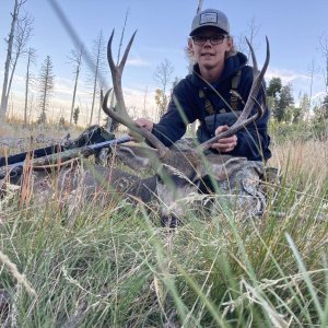
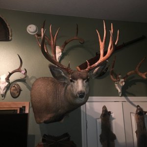
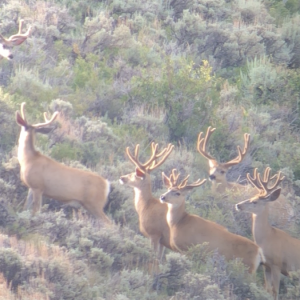
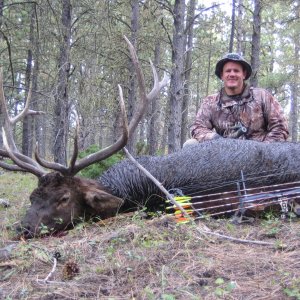
We were hunting unit 25 for antelope and knew access would be tricky. We found goats on public land and as we went after them we were warned not to pursue the antelope by a lady from the road. Our GPS clearly showed they were on BLM land. She didn't care what our GPS said and claimed her land went up to the top of the hill. There was a no trespassing sign on the fence in front of the BLM land. There was no cross fence separating the BLM from private. If we had shot the antelope would our GPS be legal proof we were on BLM. It would be foolish to think that the software in the GPS can't be wrong. But as hunters we have to know where we are at and the GPS is the best tool available to us. I believe the lady was hoarding the antelope for her clients. We offered a $100 trespass fee to shoot does and she said "why? I get $675 per antelope" We all have had experience with land owners trying to protect wildlife around their property for all kinds of reasons. I am not wanting to turn this thread into a land owner bashing session. I am curious if any of you have dealt with law enforcement in a similar way concerning property boundries?
 
LAST EDITED ON Oct-05-14 AT 05:43PM (MST)[p]LAST EDITED ON Oct-05-14 AT 05:41?PM (MST)

Some parts over in Sheridan a landowner that has land next to blm will ride his 4 wheeler along the border line to scare animals off...But he will have an excuse that he is checking something. He does let a outfitter lease his land. My buddy shot a nice 170 buck on the blm side. The outfitter wanted to load the buck in his truck to make it seem like he helped take the buck to get attention from people like us.


But the guy that rides his 4 wheeler really grinds my gears. Trying to ruin other peoples hunting. He even has enough nerve to go on blm and walk around to scare animals. But what can a guy do?


In your case that GPS is your best friend. And with no signs up saying private land and all maps showing blm I would of proved a point to go hunting on blm land.... But if the blm was land locked from her land then NO. Once that lady walks over one person it just don't stop
 
LAST EDITED ON Oct-05-14 AT 05:52PM (MST)[p]If you know it's BLM, hunt it. Period. Don't take shiet from landowners that mark off public land.
I've used it before in Wyoming and it's what. Game and Fish uses for land boundaries as well.
 
You should have politely asked her to wait as you were calling the local game warden. I would have called one out and asked the game warden whether you were right or the lady. If she was blowing smoke, she would have left right then and there. If she thought she was right, she would have stuck around and the warden could have resolved the issue. They cannot issue a citation if you never entered the land, but they could have confirmed who was correct.
 
The best way to do it would be to get All Topo Maps which are the USGS maps. You can pinpoint the UTM's to a gnats arse. Then download the corners and some border line points of the section into your GPS. That will be far more accurate than a map chip. I've found my chip to be off a small amount from time to time. Remember to look at your GPS and see what the accuracy reading is. Mine varies between 3' & 20'. If she tries to harass you next time, ask her to call the game warden and tell him to bring his GPS so he can pop some waypoints and verify where you're at.
 
Depends on the judge, what likely would be good enough is gps point plotted on topo map. Burden of proof SHOULD be on them.

REMEMBER you are subject to what the judge/officer thinks. It is very very very easy to find rulings court that contradict each other.
 
A GPS is way more accurate than a woman on the road telling you it's wrong. Guess that's why game wardens use them to verify trespass violations so they will stick in court.

And I do agree that when you back down from those that would tell you the wrong information, they will try it on the next guy, just the same.

Only question I have is did you have legal access to that BLM land?
 
>Only question I have is did
>you have legal access to
>that BLM land?

That is a great question.

Yes. This was BLM that touched a county road. The parcel was only about 100 acres. The private ground covered the next 1/4 mile of that county road then it opened up to public ground for a much bigger area.

This is why it is hard to look at a map and find public access. This unit is 45%+ public land. If you look at a map there are plenty of roads that lead to public ground. When you look for these roads most of them are private roads that deny access. Its hard to find maps with enough detail when you are trying scout a entire unit.

We spend three days scouting before the season and found several areas with antelope. These areas were no secrets. We saw a guy from Wisconsin at the south end of the unit. The next day we saw the same guy 45 miles away on public land with obvious access.

I wonder if these GPS chips are a blessing or a curse for land owners and hunters. They allow us hunters to walk the line. I hunted one place that was a mile from the roads in every direction. The property line was unmarked in anyway. Without the chip, armed with only a map, it would have been near impossible to hunt the boundry. If I was approached by a land owner in that area without a GPS and chip I think that it would be a conversation based on opinion and not facts.
 
>I wonder if these GPS chips
>are a blessing or a
>curse for land owners and
>hunters.

They are a blessing for hunters and public land users. Without a doubt I have accessed more public land with my GPS in the last five years than in the previous twenty five with just a map.

I live in Casper and know area 25. Why do you think there are leftover licenses every year for this area? The G&F make it clear that access is an issue in this area.
 
>I live in Casper and know
>area 25. Why do you
>think there are leftover licenses
>every year for this area?
>The G&F make it clear
>that access is an issue
>in this area.

We knew the issues as well, We took 18 antelope out of that unit in three days. We also gained a point to hunt a better unit in the future. We could not have done it without our chipped GPS's. I still want to learn from others experiences.
 
The maps show boundaries as close as possible but are not legal document for that boundary nor ownership. You could have called the local blm and had the ownership question answered. Still could actually. That parcel could have been traded.
 
If you had cell coverage you can also contact the County Seat (court house), the land is in and get in touch with the assessors office.

They can pull the plats and tell you for 100% sure who owns the land, I've done it dozens of times.

Also, most of the counties have accessible GIS data that you can find on-line as well that show ownerships.

There is NO 100% sure way to know if a plot of land sold last week as there is lag in filing at the Assessors office. All you can do, is your due diligence, and then hunt it if you believe its public.

It would be a chitty Game Warden or Sheriff that would even scratch a ticket if you exhausted all your options regarding ownership. On top of that the landowner would have to be a real d-bag if they wanted to press charges.

I've talked in length with several wardens who said they will use the data on their UPDATED GPS chips to determine ownership in regards to a trespassing issue. If your GPS info matches what they have, they wont write a citation. Not sure about the County Sheriff.
 

Wyoming Hunting Guides & Outfitters

Badger Creek Outfitters

Offering elk, deer and pronghorn hunts on several privately owned ranches.

Urge 2 Hunt

We focus on trophy elk, mule deer, antelope and moose hunts and take B&C bucks most years.

J & J Outfitters

Offering quality fair-chase hunts for trophy mule deer, elk, and moose in Wyoming.


Yellowstone Horse Rentals - Western Wyoming Horses
Back
Top Bottom