V
Vek
Guest
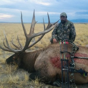
I and two other disillusioned Washingtonian elk hunters went and bought three of the last 5 Middle Fork A elk tags. We plan to head over there smack in the middle of october.
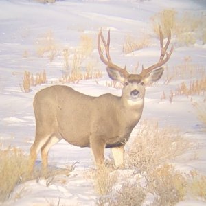
I've since been poring over the gazetteer and the topos. Road access looks quite limited, but I've zeroed in on a couple of spots where it appears we can hunt as I like - pack a small camp 3-6 miles in up a main trail, and hunt out of there. My only concern is that the rest of the A tag holders will be doing the same thing. I've also kicked around getting flown into the Cold Meadows or Chamberlain Basin or other airstrips and hiking 3-6 miles in out of there. For driving, I'm eyeballing the upper Camas Creek drainage, and the upper Loon Creek drainage. Can anyone here shed any light on elk numbers, hunter numbers, and opportunity in the spots I've mentioned? Also, how is the mule deer hunting in this area?
Thanks,