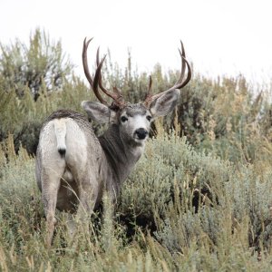
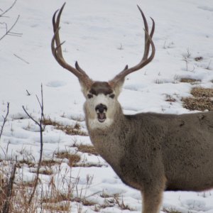
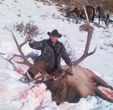
I don't know anything about unit 43...but been in there several times and hunted in there once. A must have...USFS map. Then, I'd add a county map, you get them at a map store, or surveyors supply outlet AND a BLM map.
The BLM map shows the private land, which the USFS map also shos, but from a dif angle. The BLM map is a topographific, and will also show contour and etc.
The county map...of which you may need more than one, is a topgraphical map...w/much greater detail than the others. So, you'd use the BLM, or USFS map to find out where the public land is, and the county map would do a much better job of showing you where the hills and draws are at.
You can get both the BLM and USFS maps online...I don't know where. Or, a good map store in your area could get them for you.
I think that is the Gunnison NF. The counties are Garfield (the northern end bordering the river), Pitkin (the center part) and Gunnison (around Marble (where the Lincoln Monument was obtained)).
John 14:6