Not really, a few old tracks maybe. Nothing around water and there is a lot of water in the areas Im looking.
Then my first suggestion would be to change locations. If there's no sign, there are likely none or few javelina around.
AGFD info for 16A:
Overview: Unit 16A has a high diversity of habitat types and the density of javelina within the unit varies in conjunction with these habitats. The southeastern portion of the unit consists of large canyons and rolling hills covered in prickly pear, classic javelina country with a healthy population. Good numbers of javelina can also be found in often-overlooked habitats. A good percentage of javelina can be found in Chaparral type vegetation in the foothills of the Hualapai Mountains at 4,000-5,000 feet in elevation. There has been an increase in javelina densities in the more open deserts and grassland habitats.
Scouting is the key to success in 16A. Look for tracks in washes and signs of rooting on the hills and in canyons. Javelina do not have large home ranges, so once good sign is located, have patience and cover the area well; the javelina will still be in the vicinity. In thicker areas calling can be productive. It is difficult to see very far or walk silently through the thick Chaparral where many herds can be found and proper use of a predator call or specialized javelina call can bring the animals to the hunter.
Areas: Hualapai Mountains (East Side): Javelina inhabit the foothills of the Hualapai Mountains from the northern portions near I-40 to the very southern end. Densities seem to increase south of McGary’s Wash: Look in the canyons on both sides of Blake Ranch Road. The areas that combine scrub oak and open prickly pear slopes are the best place to start. Cedar Wash and Blue Tank Wash are also good places to look. Some of these areas are on the Cane Springs Ranch. Hunters must sign in at one of two locations on Blake Ranch Road in order to gain access to the ranch and a ranch pass must be displayed in all vehicles on the ranch. Farther south, the area between Cedar Mine Road and Chicken Springs Road has a good number of javelina.
Hualapai Mountains (west side): Hunters should check out areas off Boriana Mine Road and the Bar I-L area at the northern end. Javelina can be also found scattered throughout the western foothills of the Hualapai Mountains all of the way south of Chicken Springs to the Devil’s Canyon area. The flats between Alamo Road and the mountains may hold some javelina, but chances of finding them increase in the foothills closer to the main mountain range. All hunters entering the Bar-S Ranch must sign in at either of the access points on Alamo Road or Chicken Springs Road. A ranch access pass must be displayed in all vehicles.
Big Sandy River: Access is off Highway 93 south of Wikieup, via 17-Mile Road and Signal Road on the east side of Alamo Road to Signal Road from the west. This riparian corridor holds a good number of javelina, but they tend to stay in the thick brush in the river bottom. Predator calling may be the most effective method for locating them. There are several parcels of private land along the river near signal. Please stay off posted lands and respect private property rights.
Poachie Mountains: There are several two-track roads running west of Highway 93 in this stretch between the Santa Maria River and 17-Mile Road that give access to good javelina country. People’s Canyon Road is a good starting point. It can be found directly across from the junction of Highway 93 and Highway 97 and leads to the Arrastra Mountain Wilderness Area about three miles in. This area has large prickly pear flats that are home to many herds of javelina. Hunters should not hesitate to check out any of the other roads leading west of Highway 93 in this vicinity.


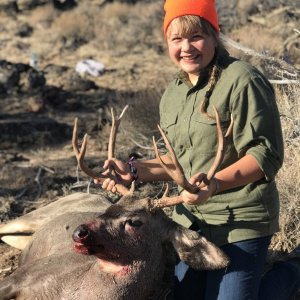
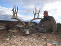
 SilverGrand Outfitters
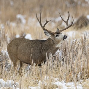
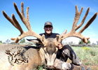
 Arizona Elk Outfitters
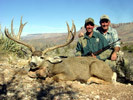
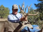
 A3 Trophy Hunts
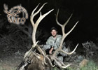
 Arizona Strip Guides
 Shadow Valley Outfitters