Google Earth?

Muleyfanatic

Active Member
Messages
193
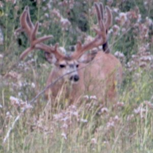
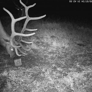
How many of you use Google Earth to do most of your scouting? I just started checking it out and found exactly where I was when I shot my deer this year, and where the deer was at! I didn't know that it could be 3D! So how many of you use Google Earth to try and find glassing points and such?
 
I think you really have to pay attention to the elevations to really be able to use it effectively. I used it a lot before my NV muzzleloader hunt this year. Hours looking on Google earth is very different than the actual piece of ground when you set foot on it. On GE it looked like the area I was going to hunt was a lot flatter or had rolling hills compared to steeper stuff. That was not the case in the least. I think it is good for tracking or mapping out certain spots but you definately cannot use it by itself to pick out spots to hunt. I will use it often though when researching new areas.

Steve
I got put in time out for a bad signature! Sorry Founder...
 
I'm going on a coues/muley bowhunt in southern AZ next month, never been there before so I've been studying the area with google earth a lot this past week. Although I agree it can be useful to learn new country, I also agree with Wiz that it's always different, especially with elevations, when you actually step foot in that new country.

~Z~
 
LAST EDITED ON Dec-17-10 AT 06:18AM (MST)[p]There is a setting in the options menu where you can actually make the terrain more pronounced thus a little more realistic. Nothing beats seeing a place in person but there is no better way to scope an area out for water holes. Especially out here in the desert.

***Edit***

Downloaded and checked out the ArcGIS. Very detailed, much more the GE but GE is a bit more user friendly. I'll now use the both, GE to find general areas and the other to get detailed photos.

"The deadliest weapon in the world is a Marine and his rifle." General John J. "Black Jack" Pershing, US Army
"Most men go through life wondering if they made a difference, Marines don't have that problem." President Ronald Regan
 
i use it alot. i like it. agree with wiz. the one thing that suits me is areas i have been into then look at it with google can put things more into perspective, and alot of times you realize how small an area can be when you get an areial of the roads, trails etc. putting animal movents in with what you see from a birds eye, can sometimes make a light go on in your head.

then to if you haven been there but only on google, you can put things together more quickly on mental notes than some one just going in there blind...useful tool..glad we have it...im sure its only going to get better...REALTIME would be cool:)
im always a sucker for whats around the next bend.
 
I use it a lot and I really like it. When hunting a new area I make custom maps on mytopo and then use google earth to find landmarks. i mark them and put the coordinates on my GPS. Then, when I get there it really helps me find my way around. Ya gotta do that when you live 1,000 miles from where you are going to hunt ! MERRY CHRISTMAS. Chip
 
I find it very beneficial for initial scouting and seeing the lay of the land. I wish I could, or know how to, superimpose topo lines.
 
>
>I wish I could, or
>know how to, superimpose topo
>lines.

click on the links in post #2.

Those videos I posted will show you step by step how to add topos to Google earth. They are the clearest topos I have found yet.

The Vimeo videos show how to add some of the other useful data to ArcGis Explorer.
 
The "elevation exageration" setting mentioned by AZWALKER really helps out. It is under the Tools menu. Adjusting it to 1.5 for the areas I've been to, and therefore know what they look like, seems to give the most realistic and useful effect. Going above 1.5 makes it look like every hill is Mt. Everest.
 
If you guys haven't done it in GE, click on "Street Veiw". It is actual photographs on the ground. You can pan around 360 degrees on each photo and actually see what's there. It works on all the highways, streets, county roads, almost all paved roads. In Street View it will display little cameras. Click on the camera and it will zoom in to the photo.

Eel
 

Click-a-Pic ... Details & Bigger Photos
Back
Top Bottom