Software for GPS

MDWhitetail

Member
Messages
77
I just bought a Garmin 60CSx GPS and I am looking for some good Topo software to load onto it. Anyone out there knows of some good software that is compatible and woks well with that unit.
 
Anyone have any actual experience with huntinggpsmaps? they look nice, but can't find a ton on the internet of actual experience other than it looks like some of the owners/developers pimping it.

They sound great, but do they work well with Garmin? A little spendy for just one state.
 
the only place I have used them is in the store. One of our sportsmans warehouses has them and the guy put the chip in the oregon 450t and I played around with it there. It worked with out any problems, other than that I have no experiences with them. If I decide to buy the garmin gps I will deffinantly buy the huntinggpsmaps to go with it.
 
Is the sofware the same for the Garmin 530 HCX too.
I'm just now get mine ready to learning to use it right. We use 2 of them last year for a hunt and they worked great so now I have brought on and we need to get a few other things to go with it. I like the idea of downloading maps for the area we hunt.


"I have found if you go the extra mile it's Never crowded".
 
The huntinggpsmaps look really nice, but I don't have any experience with them. The free maps on gpsfiledepot will undoubtably be all I'll ever need. The terrain shading is not supported on the GPSmap 60Csx, and I don't think any of the Rino units support it either.

Any of the units with a 2GB+ micro SD card will hold a bunch of these maps. I have both topo and land ownership for CO, WY, MT, ID, AZ, and SD on my unit with room to spare. You might consider downloading the free maps from GPS file depot and playing with them. Most of the land ownership maps can be made transparent and overlayed on the topo maps. If you aren't satisfied, give the huntinggpsmaps a try. Either way, don't wait until you're in the backcountry to learn how to use the maps.

One thing to bear in mind (at least with the GPS 60Csx, could be the same with others) is that you generally need to load all the maps you want at one time or it seems to overwrite what was on the SD card previously.

GPSfiledepot will link you to a website called http://www.miscjunk.org/mj/mp_main.html for some of the western states. Interestingly, when I was hunting the Uncompaghre Wilderness last fall it actually indicated small parks and some small creeks when you were zoomed in very tight. I checked them out, and sure enough they were there. The parks actually showed up as the word "park" as opposed to a graphical color change like a USGS topo map. Found some hidden gems that way that I wouldn't have stumbled upon otherwise. Not saying that the info wouldn't also be on the others, as they appear to be very nice maps as well.

Have fun!

BT
 
One clarification....I always carry paper USGS topo maps with me as well (no batteries required!). These maps did not show the tiny parks that often showed up on the gps maps as the word "park". Some of the parks were as small as 30x40 yards.

BT
 
I recently bought these maps for my Dakota 20. Install instructions (I bought the download version), was fairly straightforward, not too bad. I am new with newer GPS software, much better than my old Garmin Etreks.

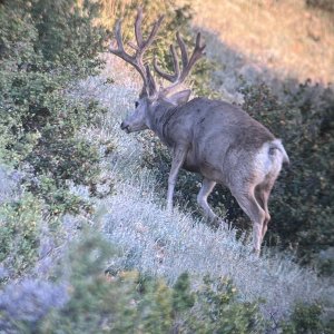
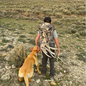
About the maps, they are very good! If you hunt much where private/public/parks/BLM is a concern, these maps are definately worth their weight in gold. Very accurate, I have tested where I know where the private/public lines are, spot on. That was my primary reason for buying this map, and it was what I was expecting.

Water sources, the other reason why I bought this map. It does not show Game and Fish trick tanks/water catchments from what I have seen so far, which was a disappointment. But it was great on springs, wells, some cattle tanks, etc. I was able to find a few springs that I was unaware of in areas I have hunted for years. A nice thing, because I knew where G & F tanks are, but apparently missed a few springs.

Overall very pleased with maps, no glitches, shading is not bad, detail is very good, but the big things for me of land status and to a lesser degree water sources were as advertised, very good tool.
 

Click-a-Pic ... Details & Bigger Photos
Back
Top Bottom